[ FreeCourseWeb.com ] Machine Learning for GIS: Land Use/Land Cover Image Analysis
Download More Latest Courses Visit -->> https://FreeCourseWeb.com
MP4 | Video: h264, 1280x720 | Audio: AAC, 44.1 KHz, 2 Ch
Genre: eLearning | Language: English + .srt | Duration: 31 lectures (4 hour, 4 mins) | Size: 2.31 GB
Become Expert in advanced Remote Sensing/GIS pixel-based & and object-based image analysis in Google Earth Engine & QGIS
What you'll learn
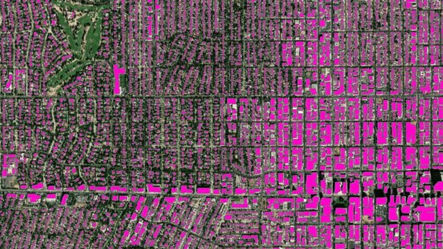
Fully understand advanced methods of Land use and Land Cover (LULC) Mapping in QGIS and Google Earth Engine
Learn how to perform such advanced methods as object based image analysis (OBIA) and object-based classification using real-world data in QGIS
Further advanced your skills in the most popular open-source GIS and Remote Sensing software tools (QGIS)
Learn how to obtain satellite data, apply image pre-processing, create training and validation data for OBIA in QGIS and Google Earth Engine
Apply advanced Machine Learning image classification algorithms
Create and download LULC maps for your report
Explore the power of Google Earth Engine for image analysis
You'll also have plenty of handy hints and tips will be provided alongside the code to prevent glitches
You'll have a copy of the labs’ step-by-step manuals used in the course for your reference to use in for their analysis.
Requirements
A vivid interest in working with geospatial data
Basic knowledge of manipulating spatial (image) data using QGIS
A working computer with internet connection
• The course will be nstrated using a QGIS version of Windows PC. Mac and Linux users will have to adapt the instructions to their operating systems.
Use Winrar to Extract. And use a shorter path when extracting, such as C: drive
ALSO ANOTHER TIP: You Can Easily Navigate Using Winrar and Rename the Too Long File/ Folder Name if Needed While You Cannot in Default Windows Explorer. You are Welcome ! :)
Download More Latest Courses Visit -->> https://FreeCourseWeb.com
Get Latest Apps Tips and Tricks -->> https://AppWikia.com
We upload these learning materials for the people from all over the world, who have the talent and motivation to sharpen their skills/ knowledge but do not have the financial support to afford the materials. If you like this content and if you are truly in a position that you can actually buy the materials, then Please, we repeat, Please, Support Authors. They Deserve it! Because always remember, without "Them", you and we won't be here having this conversation. Think about it! Peace...