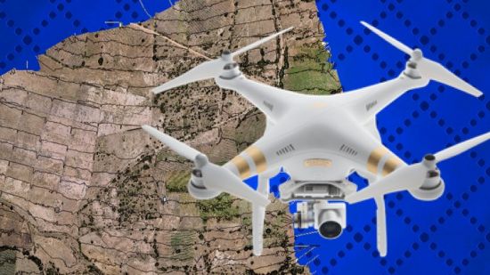
[ FreeCourseWeb ] Udemy - The Ultimate Guide for Land Surveying with Drones - Part 1
seeders:
1
leechers:
2
updated:
Download
Fast Safe Anonymous
movies, software, shows...
Files
[ FreeCourseWeb ] Udemy - The Ultimate Guide for Land Surveying with Drones - Part 1
~Get Your Course Here !
5. Flight execution and image capture
Description[ FreeCourseWeb.com ] The Ultimate Guide for Land Surveying with Drones - Part 1 Download More Latest Courses Visit -->> https://FreeCourseWeb.com Trackers
Torrent hash: 0E614A09D516E9F33C81623F1D5F763BF550D234 |