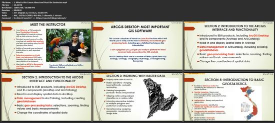
Udemy - ArcGIS Desktop For Spatial Analysis - Go From Basic To Pro
seeders:
6
leechers:
2
updated:
Download
Fast Safe Anonymous
movies, software, shows... Files
[ CourseBoat.com ] Udemy - ArcGIS Desktop For Spatial Analysis - Go From Basic To Pro
Description ArcGIS Desktop For Spatial Analysis: Go From Basic To Pro Trackers
Torrent hash: 653BFA1479021FCAFD1FD2C764112725488FAD80 |